


Santa Cruz Lake Fishing Derby - April 27th
Join PLIA, Bureau of Land Management New Mexico and Trout Unlimited for a free fishing derby at Santa Cruz Lake...
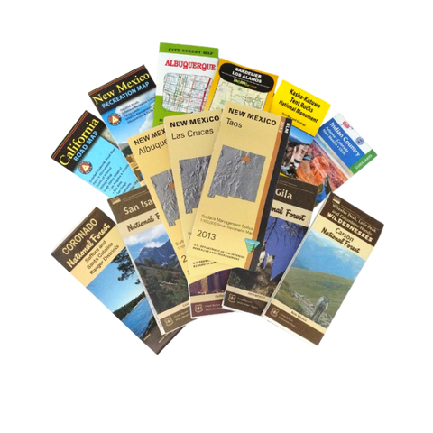
Since 1981 we have partnered with land management agencies to offer educational products and services to public lands visitors. In addition to our interpretive programs, we operate campgrounds in the Kaibab National Forest and provide visitor information at the Public Lands Information Center in Santa Fe, NM.
The Public Lands Interpretive Association (PLIA) is a 501(c)3 nonprofit organization based in Albuquerque, NM.
Join PLIA, Bureau of Land Management New Mexico and Trout Unlimited for a free fishing derby at Santa Cruz Lake...