


Regular price
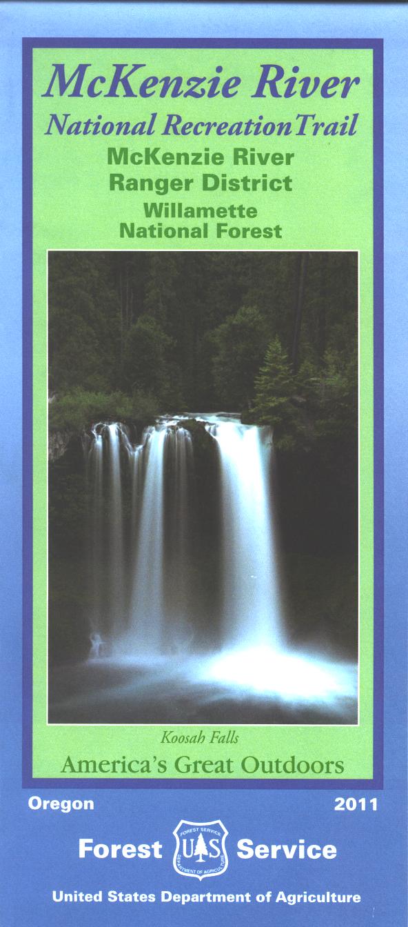
Map: McKenzie River OR National Recreation Trail - 2017
Shipping calculated at checkout.
Approximately 50 miles east of Eugene along Highway 126, the McKenzie River Trail, managed by the Willamette National Forest provides vistors an opportunity for a refreshing trek or mountain bike ride along the Wild and Scenic River. Map covers the river from Fish Lake south to McKenzie Bridge(9 miles east of Blue River), and includes an inset of the Clear Lake area. Trailheads, the trail, picnic sites, campgrounds, and the falls are shown. The map is printed on synthetic tear-proof water-proof paper. Scale is 1.25 inches to 1 mile. 2017
Every purchase made through our online store helps us continue our nonprofit education programs and services on Southwest public lands.