arrow-right cart chevron-down chevron-left chevron-right chevron-up close menu minus play plus search share user email pinterest facebook instagram snapchat tumblr twitter vimeo youtube subscribe dogecoin dwolla forbrugsforeningen litecoin amazon_payments american_express bitcoin cirrus discover fancy interac jcb master paypal stripe visa diners_club dankort maestro trash

Shopping Cart


Shop All | Shop Maps
Click to close

Publications

Newspapers / Visitor Guides

Learn More

Junior Ranger Guides

Learn More

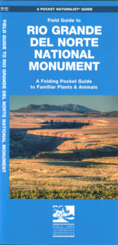
Field Guide to Rio Grande del Norte National Monument

A folding Pocket Naturalist guide to familiar plants and animals of the Rio Grande del Norte National Monument in northern New Mexico.

Waterford Press 2016

Buy

New Mexico Recreation Maps

The six maps of the New Mexico Recreation Maps Series divides New Mexico into six regions and provide detailed road information on a shade relief base, show recreation sites in national forests, land status layers, and more!

Public Lands Interpretive Association 2013

Buy

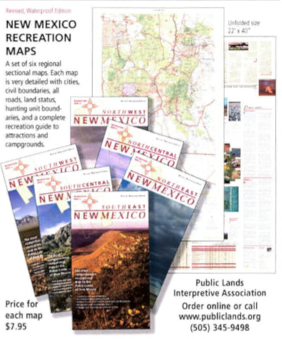
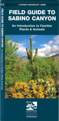
Field Guide to Sabino Canyon

A handy, laminated pocket guide to the plants and animals of Sabino Canyon, Arizona. Water, mountains and valley meet at Sabino to form a Sonoran Desert oasis.

Waterford Press 2012

Buy

Ducks at a Distance

The best pocket guide to waterfowl. Hunters and ornithologists alike will appreciate the illustrations of silhouette, flight pattern, and markings of common North American ducks and geese. 52 pp.

Public Lands Interpretive Association 2009 (12th printing)

Buy

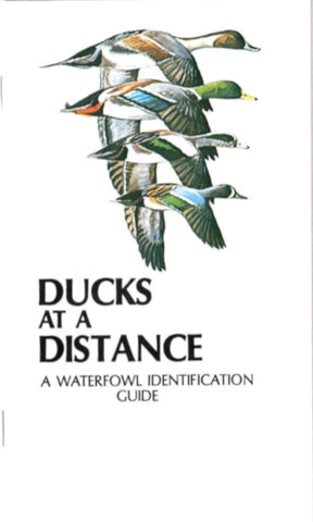
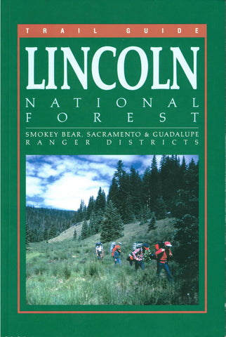
Trail Guide to the Lincoln National Forest

This trail guide features detailed maps and descriptions to the trails within the Smokey Bear, Sacramento, and Guadalupe Ranger Districts of the Lincoln National Forest.

Public Lands Interpretive Association 2008

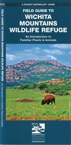
Field Guide to Wichita Mountains Wildlife Refuge

A folding Pocket Naturalist guide to familiar plants and animals of the Wichita Mountains Wildlife Refuge, Oklahoma.

Waterford Press 2006

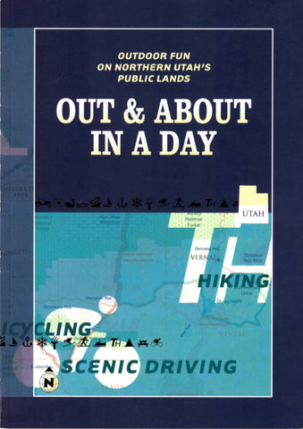
Out & About in a Day: Outdoor Fun on Northern Utah's Public Lands

Welcome to northern Utah. In a state where more than 60 percent of the land is publicly owned, northern Utah stands out as a paradise for outdoor lovers. Whether you like to hike, camp, hunt, fish, engage in winter sports, or just drive around in magnificent scenery, you have come to the right place. This guide will introduce you to the many recreational opportunities available on public lands and, we hope, introduce you to explore them.

Public Lands Interpretive Association 2001

Wild & Scenic Rio Chama

One of New Mexico`s wild and scenic rivers, the Chama winds through mountains and canyons on its wild and scenic way to meet the wild and scenic Rio Grande. This guide has maps, history, and points of interest, all newly revised in spiral top format with waterproof pages. 1999, 35 pp.

Public Lands Interpretive Association 1999

Buy

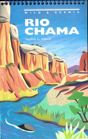
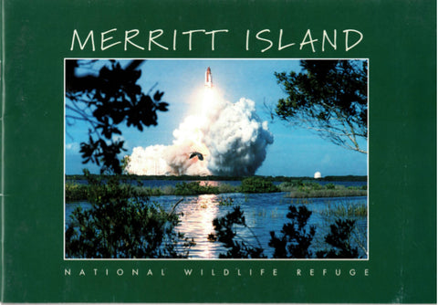
Merritt Island National Wildlife Refuge

Merritt Island is one of more than 500 refuges in the National Wildlife Refuge System, a network of lands and waters administered by the United States Fish and Wildlife Service specifically for the protection of wildlife and wildlife habitat. Refuges are biologically diverse and individually unique, yet each is a part of a larger ecosystem which includes us. Maintaining healthy ecosystems is to our own benefit, and the stewardship of our earth, wildlife, and habitats is a responsibility we all share.

Public Lands Interpretive Association 1998

Dolores River Guide

The Dolores River is one of the Southwest's best kept secrets. For 183 miles, from McPhee Dam to its confluence with the Colorado River in Utah, the Dolores offers a variety of scenery few other southwestern rivers can match. Whitewater, solitude, side canyon hikes, and superb campsites abound as the Dolores winds its way through canyons and valleys rich in history and folktales.
This award-winning book will guide you down the river and introduce you to its fascinating history and natural history.
40 pages of mile-by-mile maps, this guide covers the entire Dolores River from Bradfield Bridge to the confluence with the Colorado 171 miles later. With notes on rapids and points of interest. Reprinted from the 1997 edition. Forty pages, spiral bound, on water resistant paper. Disclaimer: We bring you this reprint of the Dolores River Guide's map section by popular demand. However, please note that the map has not been updated since its publication in 1997. Therefore, neither Public Lands Interpretive Association, nor the authors Ralph de Vries and Stephen G. Maurer, assume responsibility for any changes in the information that occurred and could impact boating or camping on the river since 1997.

Public Lands Interpretive Association 1997

Buy

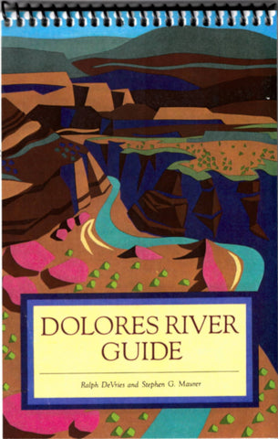
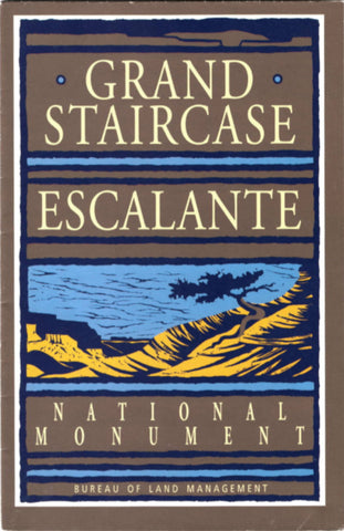
Grand Staircase Escalante National Monument
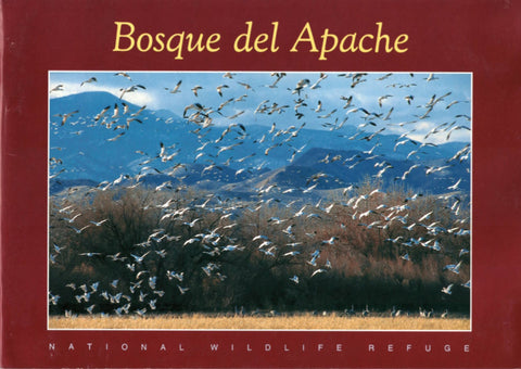
When you head into the canyons of this wild and colorful place, take a moment to appreciate how the elements have blended to create it. Wind and water sculpt rock into soaring monuments, with surprising niches of vibrant life.

Public Lands Interpretive Association 1997

Buy

Bosque del Apache National Wildlife Refuge

Bosque del Apache is one of more than 500 refuges in the National Wildlife Refuge System, a network of lands and waters administered by the United States Fish and Wildlife Service specifically for the protection of wildlife and wildlife habitat. Refuges are biologically diverse and individually unique, yet each is a part of a larger ecosystem which includes us. Maintaining healthy ecosystems is to our own benefit, and the stewardship of our earth, wildlife, and habitats is a responsibility we all share.

PLIA/Southwest Natural and Cultural Heritage Association 1994

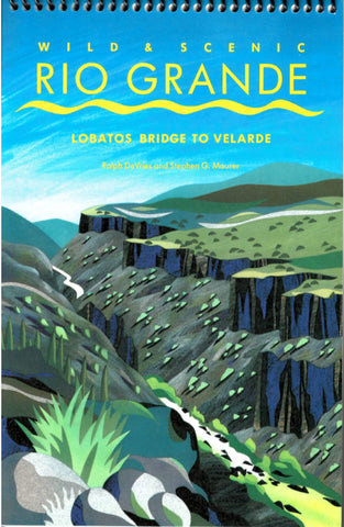
Wild & Scenic Rio Grande: Lobatos Bridge to Valarde
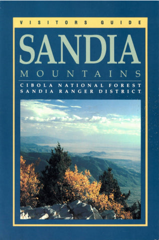
The Rio Grande is New Mexico's premier whitewater river. This guide includes the remote Ute Mountain Run, the Class IV-VI Upper Box, the popular Lower Box and Racecourse, and the pastoral County Line Run.

PLIA/Southwest Natural and Cultural Heritage Association 1994

Buy

Visitors Guide to Sandia Mountains

Much of the rugged mountain range is a designated wilderness bisected by Sandia Crest Scenic Byway, which makes the 10,678-foot crest easily accessible by automobile.

PLIA/Southwest Natural and Cultural Heritage Association 1994

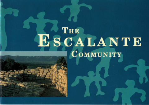
The Escalante Community
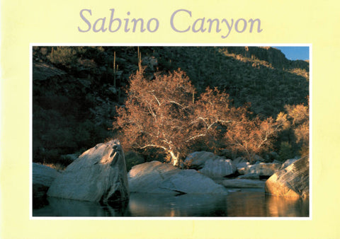
Escalante Ruin commands a spectacular view from a hilltop adjacent to the Bureau of Land Management's Anasazi Heritage Center in southwestern Colorado. At the foot of the hill lies Dominguez Ruin, a small, four-room structure.

PLIA/Southwest Natural and Cultural Heritage Association 1994

Sabino Canyon

This rock-enclosed haven is nestled in the rugged front range of the Santa Catalina Mountains outside of Tucson. Mountains, water, and valley meet at Sabino to form a desert oasis that draws well over a million visitors each year.

PLIA/Southwest Natural and Cultural Heritage Association 1993

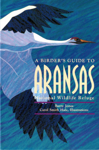
A Birder's Guide to Aransas National Wildlife Refuge

Located in the coastal bend of the central gulf coast of Texas, Aransas National Wildlife Refuge is winter home to the world's only flock of whooping cranes. The refuge is also blessed with a rich diversity of bird life: its bird list is quite possibly the largest of any national wildlife refuge.

PLIA/Southwest Natural and Cultural Heritage Association 1992

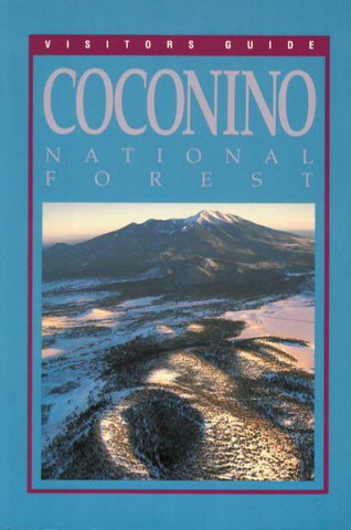
Visitors Guide to Coconino National Forest

Surrounding the city of Flagstaff, Coconino National Forest includes 12,643-foot Humphreys Peak, the highest point in Arizona; Hiking, wilderness camping, fishing, and scenic drives are among the many recreational opportunities.

PLIA/Southwest Natural and Cultural Heritage Association 1992

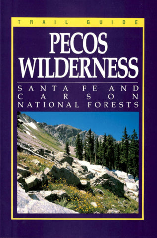
Trail Guide to the Pecos Wilderness

The first comprehensive guide to the extensive trail system of the 223,667-acre Pecos Wilderness is an indispensable companion for hikers, hunters, fishermen, and others who go into the wilderness.

PLIA/Southwest Natural and Cultural Heritage Association 1991

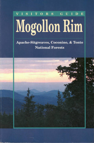
Visitors Guide to Mogollon Rim

For more than 200 miles, the Mogollon Rim is the dominant geologic feature in central Arizona. It separates the plateau country of the north from the desert to the south; it cuts across three national forests(Apache-Sitgreaves, Coconino, Tonto).

PLIA/Southwest Natural and Cultural Heritage Association 1991

The Anasazi: Why did they leave? Where did they go?

A panel discussion at the Anasazi Heritage Center, Dolores, Colorado, sponsored by the Bureau of Land Management as part of the 'Four Corners Tribute,' June 19, 1990.

PLIA/Southwest Natural and Cultural Heritage Association 1991

11,000 Years On Tonto National Forest

This brochure is part of a continuing effort by the Tonto National Forest archaeological staff to provide public and professional access to the cultural resource of the forest.

PLIA/Southwest Natural and Cultural Heritage Association 1990

Visitors Guide to Kaibab NF (North)

The northern half of Arizona's Kaibab National Forest abounds in scenic wonders. Its extensive, well-maintained road system reaches to the very edge of the Grand Canyon, offering spectacular views and countless recreational opportunities for everyone.

PLIA/Southwest Natural and Cultural Heritage Association 1990

Visitors Guide to Kaibab NF (South)

From cool ponderosa pine forests to sagebrush plains and grassy 'prairies,' the southern half of Kaibab National Forest offers a multitude of recreational opportunities for the visitor.

PLIA/Southwest Natural and Cultural Heritage Association 1990

From A to Z: The Biography of Arthur W. Zimmerman

As one goes through life, a handful of unforgettable individuals remain stamped in one's memory. One such individual for Bureau of Land Management employees of the 1960's to 1980's was Art Zimmerman.

PLIA/Southwest Natural and Cultural Heritage Association 1988

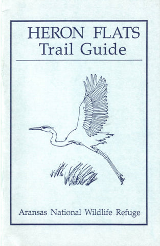
Heron Flats Trail Guide

The mile and a half traversed by this trail, with freshwater sloughs, shell ridges, oak forest, and tidal flats, is the most diverse area of the Refuge. Here you can see at close hand many of the plants and habitats that are spread widely over the Refuge, as well as some that occur only here.

PLIA/Southwest Natural and Cultural Heritage Association 1987