Articles
Wilderness Watch: Chama River Canyon Wilderness

Photo: The Wild and Scenic Rio Chama, Public domain via the Bureau of Land Management
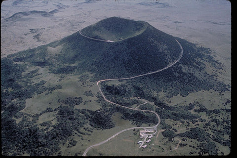
The Rio Chama is the lifeblood of this region of New Mexico, rich in history from the Gallinas culture that called this area home during the turbulent transition from Ancestral Puebloan cultures, the various Pueblo groups that later settled downstream at the large settlements of Tsi-p'in-ouinge and Poshuouinge, and the Hispanic settlers who carved Abiqiuiu's rich soil into abundant farms and orchards in more recent times. Between the El Vado and Abiquiu reservoirs, the Rio Chama still runs freely through deep canyons and forested slopes, earning a national designation as a Wild and Scenic River.
One of the most significant tributaries of the mighty Rio Grande, the Rio Chama has carved the stony hills into a landscape that is truly unforgettable. The beauty of the area has stunned visitors for centuries, attracting artist Georgia O'Keeffe, who painted the landscapes incessantly, and a group of Benedictine monks who would establish a monastery along the river. In this area seemingly walled off from the rest of New Mexico and indeed, the world, the land itself seems to take center stage..
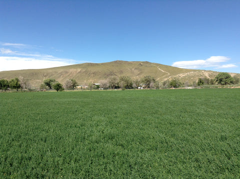
Since 1978, the Rio Chama has been protected through this passage by the Chama River Canyon Wilderness, which covers over 47,000 acres of forested land. The Rio Chama is an eternally popular mecca for rafting and kayaking, with Class II rapids along significant stretches and plenty of put-in and take-out points that accommodate both short floats and multi-day expeditions.
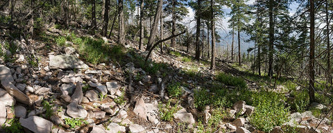
If rafting isn't quite your speed, the abundance of wildlife and plenty of well-placed camping areas nearby will get you close to the wilderness. A portion of the Continental Divide Trail, known as the Ojitos Trail, is the single established trail through the wilderness, crossing the Rio Chama at Skull Bridge below the monastery.
The wilderness is entirely within the Coyote Ranger District of the Santa Fe National Forest, while jurisdiction over the river (including permitting and float regulations) is shared between the Coyote Ranger District and the Bureau of Land Management.
For more information on the wilderness itself, follow the links above to get a full picture of the area. Map and trail information is somewhat fragmentary when it comes to navigating the land portions of the wilderness, though the river itself is well-trod.

0 comments