Articles
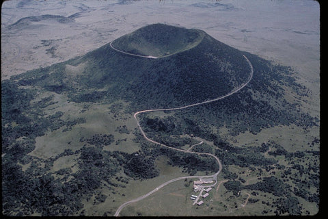
Featured Maps: Río Grande del Norte National Monument
3 years ago

Taos Gorge, looking south from Wild Rivers Recreation Area.
The Río Grande del Norte National Monument is a vast area of protected land near Taos, home to wild bighorn, entrancing canyons, white-water rapids, and two PLIA stores!
Administered by the Bureau of Land Management, hunters, bikers, hikers, campers, and rafters have endless opportunity to explore New Mexico's iconic Río Grande and its incredible surroundings.
With all the outdoor fun available to visitors on the Monument, it can be easy to overlook the sheer number of stunning landscape features to be found there. This week, we'll take you through several maps covering interesting areas of the Monument and see some of the stories maps can tell.

These Bureau of Land Management Surface Management maps are a good choice for confirming public land boundaries while out in the field. Color coded by agency (Forest Service, State Parks, Bureau of Land Management, etc.), they offer an interesting glimpse into the "checkerboard" of public and private land characteristic of the American West.
Let's unfold one, and see what's inside!
Let's unfold one, and see what's inside!

At the southern tip of the monument, the Río Grande runs parallel to the road, offering spectacular views as you drive into Taos County. Wildlife (especially many types of birds) find this wide riparian landscape irresistible, and anglers have easy access to the river this far downstream. Gradually, the contours of the Río Grande Gorge begin to build up and you're suddenly driving up canyon walls as you approach Taos to the northeast.
In the section of the Taos map shown above, you can see this transition zone along the main road as the red contour lines start stacking up. On this map, the "surface management" (as opposed to below-ground mineral rights) of each area is color blocked. BLM lands are in yellow, with New Mexico state lands in blue, National Forests in green, and private land in white.
A couple other features make this stand out from your typical topographic map, like labels for features such as gravel pits and the Old Spanish National Historic Trail (in light pink).
Most conspicuously, the Lower Gorge Area of Critical Environmental Concern is front and center. An ACEC is a subsection of public land that is singled out for special care of historic, cultural, and environmental resources (or to protect visitors from hazards). In this specific area, off-road driving, mining activity, and livestock grazing are prohibited in the ACEC for the protection of the watershed, wildlife, and visitors.
When encountering a specially designated area like this while recreating, it's always best to reach out to your nearest BLM office or the New Mexico Public Lands Information Center for guidance.
For general driving maps or something geared more toward hiking or camping, check out the other options we carry in our online store, under "Recreation Maps" or "Forest Service Maps."


0 comments