Pacific Northwest Recreation Map Series
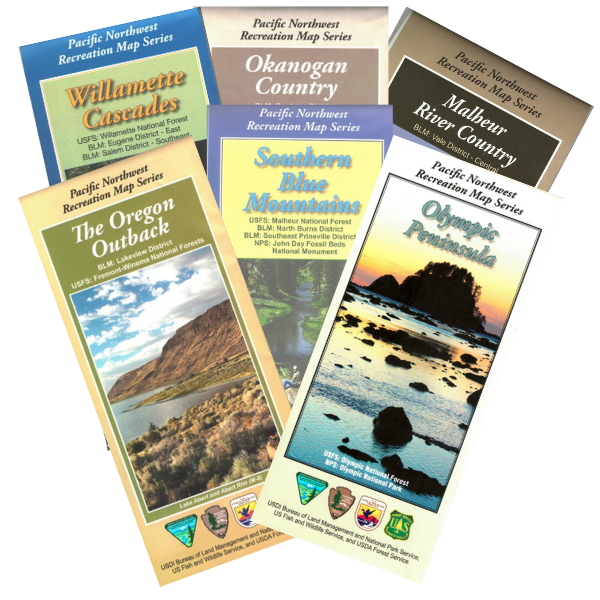
The Pacific Northwest Recreation Map Series is produced jointly by the DOI Bureau of Land Management and the USDA Forest Service for the states of Oregon and Washington. Recreational opportunities on US Fish & Wildlife Service and National Park Service land are also shown, as well as State and County sites, where applicable. Providing coverage at a scale of One-Half Inch = One Mile, and printed on a durable but biodegradable plastic/paper laminate, these maps are designed for use in the field, but fold down to 4x9 inches for easy packing. Thoroughly vetted by field personnel in all agencies, PNWRMS maps display a depth of information with a level of accuracy not found in other map products.

Filter and sort


Map: Columbia River Gorge National Scenic Area OR/WA - PNWRMS - 2020


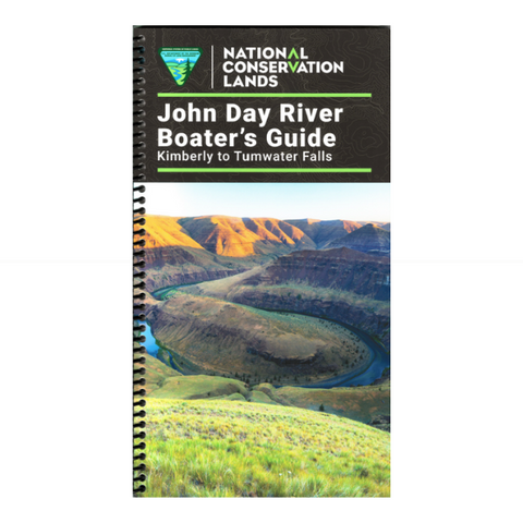
MAP: John Day River Boater's Guide - Kimberly to Tumwater Falls (OR)


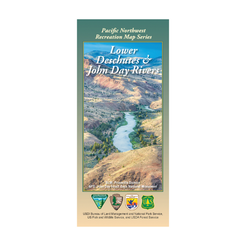
Map: Lower Deschutes & John Day Rivers OR - PNWRMS - 2019


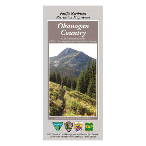
Map: Okanogan Country (Okanogan National Forest) WA - PNWRMS - 2018


Map: Steens High Desert Country OR - PNWRMS - 2025


MAP: Tri-Corner Region Recreation Map - CA, NV, OR