arrow-right cart chevron-down chevron-left chevron-right chevron-up close menu minus play plus search share user email pinterest facebook instagram snapchat tumblr twitter vimeo youtube subscribe dogecoin dwolla forbrugsforeningen litecoin amazon_payments american_express bitcoin cirrus discover fancy interac jcb master paypal stripe visa diners_club dankort maestro trash

Shopping Cart


Shop All | Shop Maps
Click to close
Map: Quemado NM - NM041S
Regular price
$8.99

Map: Quemado NM - NM041S


Unit price per
Shipping calculated at checkout.

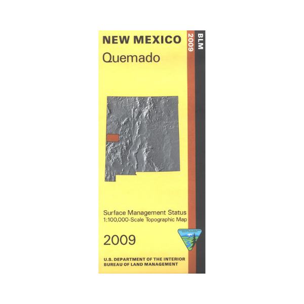
Official Bureau of Land Management topographic maps @1:100,000 metric scale (roughly 3/4" = 1 mile), are color-coded to show federally-managed public lands; plus state, private, or tribal lands, military withdrawals, roads and trails, lakes, rivers and streams, and developed recreation areas. This is a great map to have while stalking game in Hunting Units 12, 15, 13, fishing (where available), wildlife watching, hiking, backpacking, mountain biking, camping, or OHV and ATV riding. Includes roads and lands in Catron County and the upper reaches of Apache National Forest as it spills into New Mexico (and is administered by the Gila National Forest). 2009

 Every purchase made through our online store helps us continue our nonprofit education programs and services on Southwest public lands.