


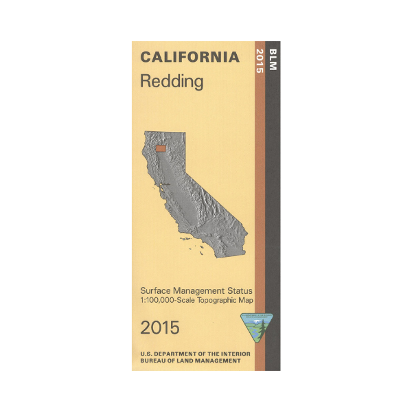

From Redding travel north to Shasta Lake or Clair Engle Lake and Whiskeytown Shasta Trinity National Recreation Area for camping, boating, and fishing. The recreation area also includes Whiskeytown Lake west of Redding. Explore the BLM lands west of Redding to Douglas City. Official Bureau of Land Management metric topographic map @1:100,000 scale (roughly 3/4"=1 mile), color-coded to show surface management, i.e. agency vs. private or tribal ownership. Map shows roads, water features, recreation sites, points of interest, and the township and range lines. Maps show trails and developed recreation areas such as campgrounds. Use this map for Deer Hunting in Units B2, B5, and C2 and C3 and for Elk Hunting in Marble Mountains and Northeastern Zones. 2015