


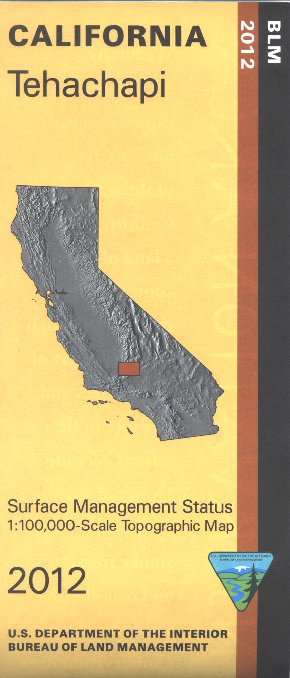
Map shows BLM lands east and north of Tehachapi, includes Dove Springs OHV Open Area, Jawbone Canyon OHV Open Area, Jawbone- Butterbred Area, and Bright Star BLM Wilderness with hiking and horse riding. North of Tehachapi is Sequoia National Forest with camping, picnicking, fishing, hiking, and an OHV trail. Backside of map has extensive information about the designated 25 million acre California Desert Conservation Area. Includes descriptive information about the places on the map, along with available recreational activities such as camping, hiking, horseback riding, and 4 Wheel/OHV driving. Official Bureau of Land Management metric topographic map @1:100,000 scale (roughly 3/4"=1 mile), color-coded to show surface management, i.e. agency vs. private or tribal ownership. Map shows roads, water features, recreation sites, points of interest, and the township and range lines. Maps show trails and developed recreation areas such as campgrounds. Use this map for Deer Hunting in Units D9, and D10 and. 2012