


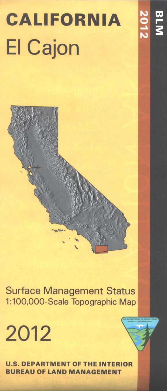
Map shows lands east of El Cajon; includes Cleveland National Forest, BLM's Sawtooth Mountains Wilderness plus other BLM lands, Cuyamaca Rancho and Anza Borrego Desert State Parks. Many opportunities for hiking, horseback riding, and camping while scenic driving in the national forest, or in the State Parks. Enjoy OHV use in Corral Canyon OHV Area in the national forest. Official Bureau of Land Management metric topographic map @1:100,000 scale (roughly 3/4"=1 mile), color-coded to show surface management, i.e. agency vs. private or tribal ownership. Map shows roads, water features, recreation sites, points of interest, and the township and range lines. Map shows trails, roads, and developed recreation areas such as campgrounds; backside of map has extensive information about the designated 25 million acre California Desert National Conservation Area. Includes descriptive information about the places on the map, along with available recreational activities such as camping, hiking, horseback riding, and 4 Wheel/OHV driving. Use this map for Deer hunting in Unit D16. 2012