
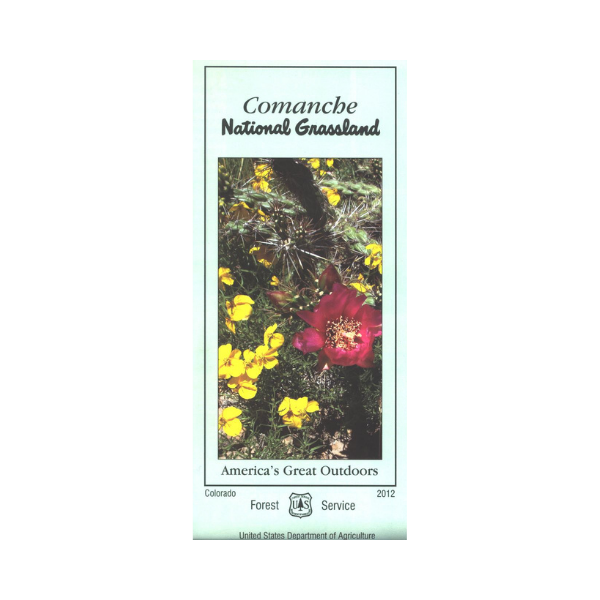


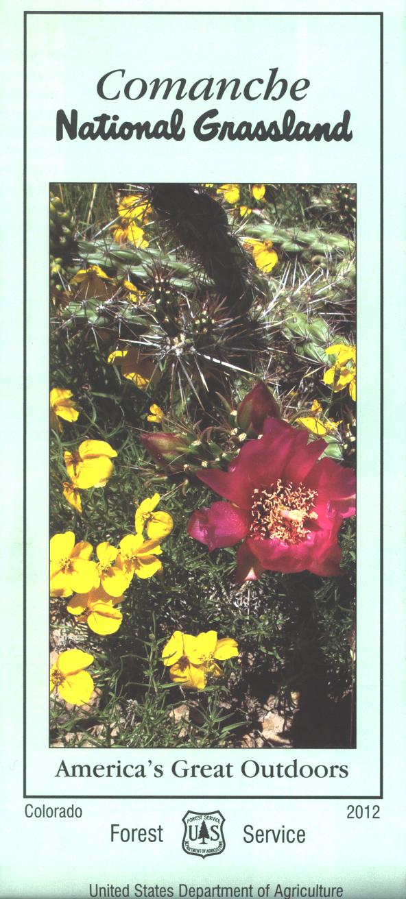
The map covers the entire national grassland.
The maps show
roads, trails, streams, lakes, recreation sites, land
ownership, and major points of interest. Several 4WD roads leads into historic canyons, or paleontological areas. Visit the largest dinosaur trackway in North America. Walk on a 21 mile section of the historic Santa Fe Trail. See the various wildlife living in the area while scenic driving. There are many opportunities to see how the native Americans, the settlers, and the dinosaurs lived in the grasslands. The map is useful for OHV/4WD use, and CO Hunting Units 129, 130, 135, 137, 139, 143, 144, and 145.The scale is 1/2"= mile. Printed on synthetic, tear-proof, waterproof paper. 2012
Vendor: Forest Service CO