


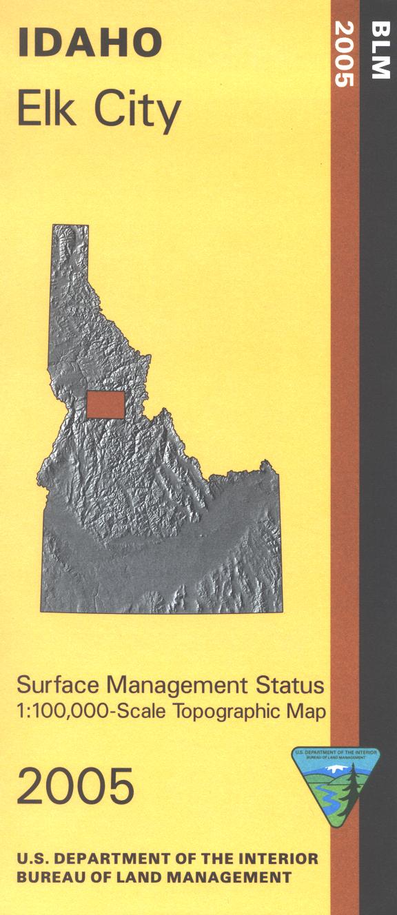
Elk City has a small area of BLM land surrounding the town, which is then surrounded by a vast area of the Nez Perce National Forest. Explore the forest, follow Hwy 14 west along the South Clearwater River, enjoy the scenic drive and watch for the campgrounds along the way. Hiking or horseback riding in Gospel Hump Wilderness southwest of Elk City. Southeast is part of Frank Church River of No Return Wilderness with trailhead access. Official Bureau of Land Management metric topographic map @1:100,000 scale (roughly 3/4"`1 mile), color-coded to show surface
management, i.e. agency vs. private or tribal ownership. Map shows color coded public and private ownership, roads, water features, trailheads, recreation sites, points of interest, and the township and range lines. Map is useful for OHV use, and ID Hunting Units 15, 16A, 19, 20. 2005