


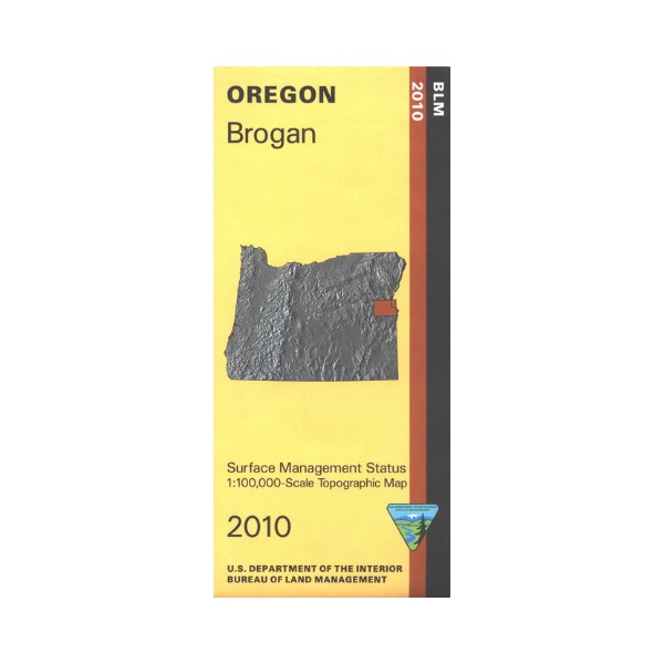
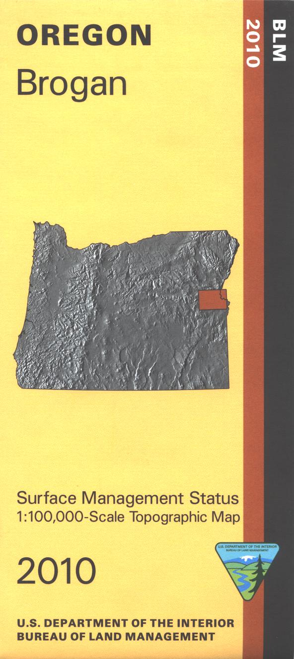
Map shows lands from Deer Flat National Wildlife Refuge on the Snake River west to Ironside OR. From Huntington travel south for camping, hiking, boating, and fishing at Farewell Bend State Park on the Snake River. Travel a few miles south to the Oregon Trail Birch Creek Interpretive Center. The historic trail is marked on the map. From Brogan explore the BLM lands south to Bully Creek Reservoir, north to Clarksville, or east to the Snake River. Official Bureau of Land Management metric topographic map @1:100,000 scale (roughly 3/4" = 1 mile), color-coded to show surface
management, i.e. agency vs. private or tribal ownership. This map shows roads, water features, recreation sites, points of interest, and the township
and range lines. Useful map for OR Hunting Units 51, 65, and 67. 2010