
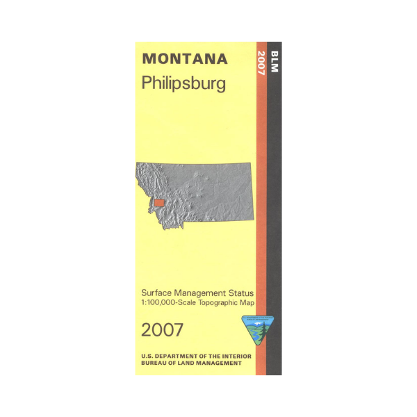


Philipsburg is surrounded by sections of Beaverhead Deerlodge, Lolo, and Bitterroot National Forests. Many opportunities for camping, hiking, fishing, or boating are available, including at Georgetown Lake south of Philipsburg. Scenic drive the highways or forest roads, watch for wildlife. Hike in the northern section of Anaconda Pintler Wilderness south of East Fork Reservoir; a section of the Continental Divide National Scenic Trail is marked. Official Bureau of Land Management metric topographic map @1:100,000 scale (roughly 3/4"`1 mile), color-coded to show surface
management, i.e. agency vs. private or tribal ownership. Map shows color coded public and private surface management
ownership, roads, water features, recreation sites, points of interest, and the township and range lines. Use this map for OHV use, and hunting Deer and Elk in Units 204, 210, 211, 212, 213, 214, 216, 261, 270, and 319; and for hunting Moose in 210, 211, 212, 214, 261, 270, and 325.
2007