


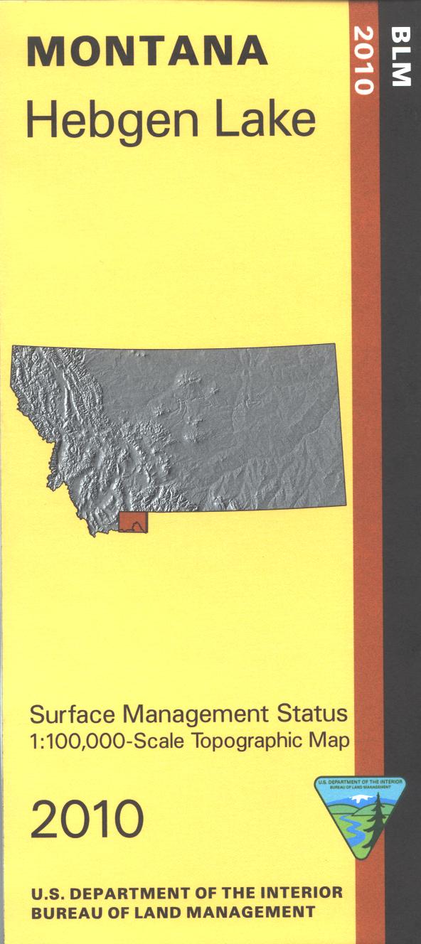
Map shows forest lands in the Beaverhead Deerlodge, Gallatin, and Caribou Targhee National Forests west of Yellowstone National Park. From west of West Yellowstone travel north to Hebgen Lake for camping, fishing, and boating. West is Henrys Lake with camping and boating sites, and also the Red Rocks National Wildlife Refuge with campgrounds and boat ramps. The Continental Divide National Scenic Trail is marked for those looking for hiking/backpacking trips. Several other forest service campgrounds are marked on the map. Official Bureau of Land Management metric topographic map @1:100,000 scale (roughly 3/4"`1 mile), color-coded to show surface management, i.e. agency vs private or tribal ownership. Map shows color coded public and private ownership, roads, water features, recreation sites, points of interest, and the township and range lines. Use this map for hunting Deer and Elk in Units 310, 323, 324, 327, 361, and 362; and for hunting Moose in Units 307, 309, 310, 330, 331, 333, 360, 361, 362. 2010