


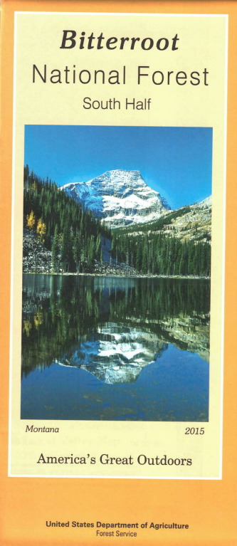


Map shows the forest from Darby south to Lost Trail Pass at the Idaho border, west into Frank Church River of No Return Wilderness beyond Painted Rocks Lake, and east into Anaconda Pintler Wilderness. The Continental Divide National Scenic Trail is marked. Explore the forest roads watching for campgrounds, scenic drives, scenic views, trailheads, rivers, and fishing sites. Camping, fishing, swimming, and boating at Painted Rocks Lake. Official Forest Service topographic map of the south half of Montana's 1.6 million-acre Bitterroot National Forest. Scale is 1:63,360 with contour intervals at 100 feet. Includes roads and trails; area,road,and trail seasonal restrictions; campgrounds, cabins, wilderness areas, and adjacent public lands. Printed on paper. Use map for MT Deer, Elk, and Moose Hunting Units 240, 250, and 270. 2015