


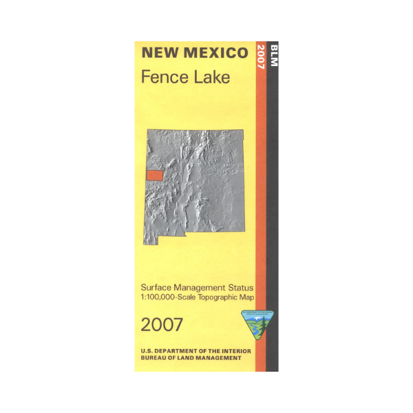

Official Bureau of Land Management topographic maps @1:100,000 metric scale (roughly 3/4" = 1 mile), are color-coded to show federally-managed public lands; plus state, private, or tribal lands, military withdrawals, roads and trails, lakes, rivers and streams, and developed recreation areas. It is a great map to have while stalking game in Hunting Units 11, 12, and 13, fishing (where available), wildlife watching, hiking, backpacking, mountain biking, camping, or OHV and ATV riding. Includes roads and lands in Cibola, McKinley and Catron Counties. Includes the Zuni Indian Reservation and Ramah Navajo Reservation. El Malpais National Monument(western area) and El Malpais National Conservation Area are included 2007
Vendor: BLM NM