
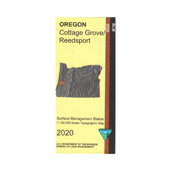


Map includes Reedsport and Cottage Grove Bureau of Land Management Quadrangles.
Reedsport side shows the coastline and Hwy 101 from Florence south to Saunders Lake including the Oregon Dunes National Recreation Area, and Honeyman Memorial State Park(camping). Camping, beach walking, fishing, wildlife viewing, hiking, and OHV use in the recreation area. Map shows sections of Siuslaw National Forest along the coast, and small scattered sections southeast of Florence. From Reedsport travel east on scenic Hwy 38 along the Umpqua River to reach Elliott State Forest.
Cottage Grove side shows lands west of Cottage Grove to Elliot State Forest and Siuslaw National Forest. Scenic drive Hwy 38 which follows along the Umpqua River to Hwy 138, then south on Hwy 138 near the river.
Official Bureau of Land Management metric topographic map
@1:100,000 scale (roughly 3/4"`1 mile), color-coded to show surface
management, i.e. agency vs. private or tribal ownership. This map shows roads, water features, recreation sites, points of interest, and the township
and range lines. Useful for OR Hunting Unit 20, 21 and 24. 2020