
Central Oregon’s landscape, ranging from wind-scoured summits atop craggy peaks to subalpine mountainside to a high desert floor covered in ancient lava flows, provides a unique backdrop for a wide range of recreational activities. Public lands are a short drive from most Central Oregon communities, including Bend, Redmond, Sisters, Sunriver, La Pine, Prineville, and Madras.
A variety of diverse ecosystems exist across Central Oregon, converging in a distinct collection of flora and fauna. Lower elevations tend to embrace high desert ecosystems, consisting of juniper, sage brushes, and grasses. Wildlife sightings include pronghorn antelope and an assortment of birds and smaller mammals. At higher elevations, ecosystems range from wetter, heavily forested western slopes to subalpine long the Cascade crest to impressive Ponderosa stands on the eastern slopes. Wildlife sightings at higher elevations include Roosevelt elk, mule deer, Northern bald eagles, osprey, pikas, and black bears.
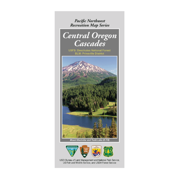
Map covers: USFS Deschutes National Forest and parts of BLM Prineville District.
The Pacific Northwest Recreation Map Series is jointly created by the Bureau of Land Management and US Forest Service. They provide surface land status and key recreation features like roads, campgrounds, and day use areas on federal lands (including National Forests, National Parks, US Fish & Wildlife Service lands, and more)
2020, printed on durable paper. $19.99.
This Map shows OR Hunting Units 34, 35, & 39,
and portions of 16 (Southeast), 19 (East), 38 (West), and 77 (North).