
No matter your mode of travel, the Bureau of Land Management (BLM) and the Rogue River-Siskiyou National Forest offer a bounty of outdoor opportunities in southwestern Oregon. This biologically diverse, resource-rich area includes many crown jewels such as the Cascades-Siskiyou National Monument, Table Rocks, Hyatt Lake, Mount McLoughlin, and multiple federally protected Wilderness Areas and Wild and Scenic Rivers.
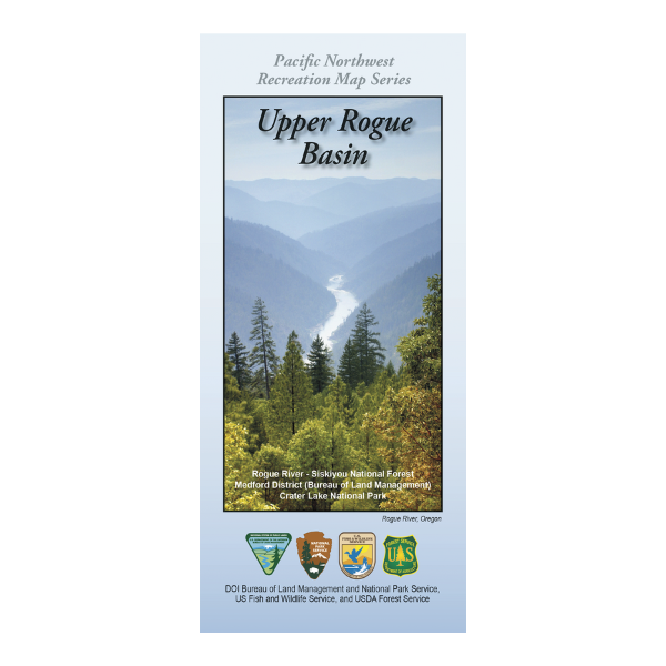
This map contains the Rogue River-Siskiyou National Forest, BLM Lands in the Medford District, and Crater Lake National Park.
The Pacific Northwest Recreation Map Series is jointly created by the Bureau of Land Management and US Forest Service. They provide surface land status and key recreation features like roads, campgrounds, and day use areas on federal lands (including National Forests, National Parks, US Fish & Wildlife Service lands, and more).
2021, printed on durable paper with a film core. $19.99.
This map is suitable for OR Hunt units 38, 39, 30, and portions of 22 (South), 26 (East), 31 (West).