
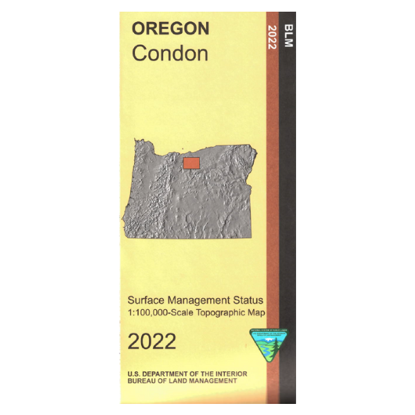
Map shows mostly private land with some small scattered BLM lands, a section of the Deschutes River west of Grass Valley, and a north to south section of the John Day River west of Condon.
Official Bureau of Land Management metric topographic map
@1:100,000 scale (roughly 3/4" = 1 mile), color-coded to show surface
management, i.e. agency vs. private or tribal ownership.
This map shows roads, water features, points of interest, and the township and range lines. Map is useful for OR Hunting Units 40 and 43. 2022
Vendor: BLM OR