
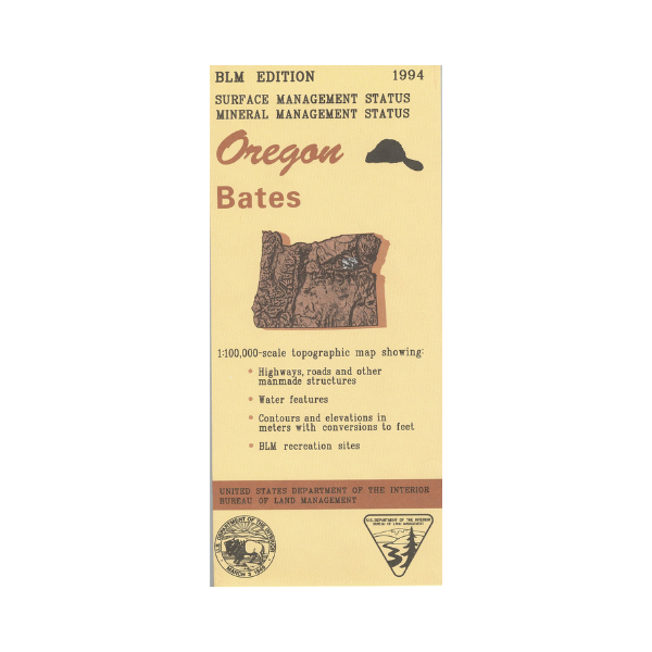


Map shows sections of Umatilla, Wallowa-Whitman, and Malheur National Forests surrounding Bates. Travel north to explore the forest roads and the Blue Mountains, and east to Phillips Lake. Bureau of Land Management metric map @1:100,000 scale (roughly 3/4"`1 mile), color-coded to show surface management, i.e. agency vs. private or tribal ownership. This map shows roads, water features, and the township and range lines. Use for OR Hunting Units 47, 50, 51, and 52. Currently only the version with surface and mineral management is available. 2017
Every purchase made through our online store helps us continue our nonprofit education programs and services on Southwest public lands.
Vendor: BLM OR