


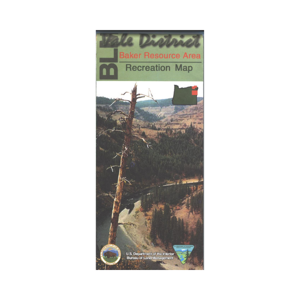

The Baker District covers southern end of the Wallowa-Whitman National Forest, the National Historic Oregon Trail Interpretive Center and adjacent Virtue Flats OHV Area, Thief Valley Lake, fishing access to the Snake River, and BLM lands in the Mormon Basin west of the river. Contains additional visitor information for rafting the Grande Rande, Wallowa, and Powder wild and scenic river. In addition to roads, water features, recreation sites, points of interest, township and range lines, and color-coded surface ownership, this map highlights recreational opportunities such as camping, picnicking, fishing, floating, hiking, hunting, wildlife watching, and enjoying the scenery. Map shows the Wallowa-Whitman National Forest surrounding Baker City, the Snake River from the dam south to Oasis Campground, and the extensive BLM lands east of Baker City. Scale is 1/2 inch= 1 mile. Useful for OR Hunting Units 51, 53, 62, 63, and 64. 2002