
Named for the heart-shaped brand used by pioneer ranchers who settled at the base of this formation, the sharp-edged and dramatic landforms of the Basin and Range Province contrast starkly with the adjacent Warner Mountains.
Hart Mountain and the Warner Valley were formed many thousands of years ago when large faults in the earth’s crust shifted, forming a long valley running north and south at the foot of a rugged mountain soaring more than 8,000 feet above sea level. During the last ice age, huge lakes filled the entire valley with water. Over time, these giant lakes dwindled to form a complex chain of lakes spanning 40 miles, while the lakeshore beaches of the original ancient lakes are still visible on the eastern side of the valley.
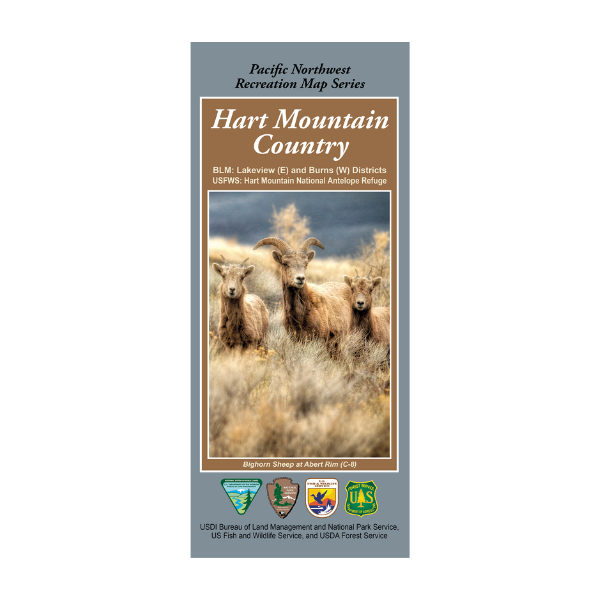
The crown jewels of this remote landscape are Hart Mountain National Antelope Refuge and the Warner Wetlands. Located on a massive fault block ridge, Hart Mountain sharply ascends nearly three-quarters of a mile above the valley floor through a series of rugged cliffs, steep slopes, and knife-like ridges. The west face of the mountain is cut by several deep gorges, including the Hart, Potter, and De Garmo Canyons that extend from the valley floor to the top of the main ridge.
This map shows the entirety of the Hart Mountain National Antelope Refuge, the east portion of the Lakeview BLM district, and the western portion of the Burns BLM district.
The Pacific Northwest Recreation Map Series is jointly created by the Bureau of Land Management and US Forest Service. They provide surface land status and key recreation features like roads, campgrounds, and day use areas on federal lands (including National Forests, National Parks, US Fish & Wildlife Service lands, and more)
2019, printed on tear-resistant paper with a film core. $19.99.
Suitable for Hunting in OR Hunt Units 71 & 74 and portions of 73 (east) and 70 (west).