arrow-right cart chevron-down chevron-left chevron-right chevron-up close menu minus play plus search share user email pinterest facebook instagram snapchat tumblr twitter vimeo youtube subscribe dogecoin dwolla forbrugsforeningen litecoin amazon_payments american_express bitcoin cirrus discover fancy interac jcb master paypal stripe visa diners_club dankort maestro trash

Shopping Cart


Shop All | Shop Maps
Click to close
Map: Burns OR - OR009S
Regular price
$8.99

Map: Burns OR - OR009S


Unit price per
Shipping calculated at checkout.

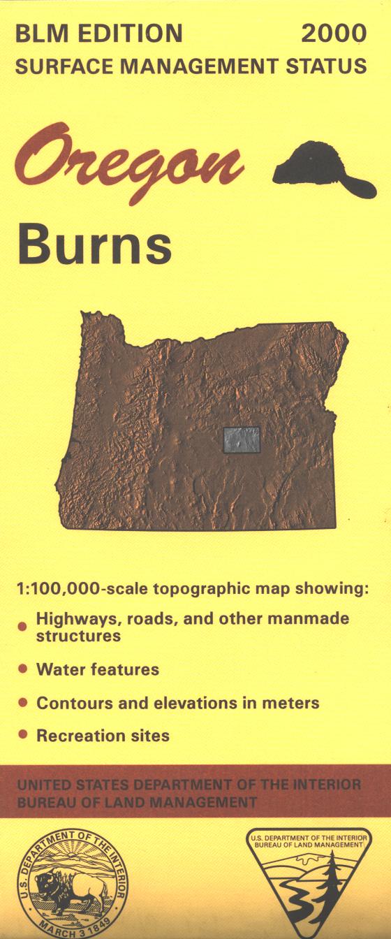
From Burns travel north to explore parts of Ochoco and Malheur National Forests with opportunities for scenic driving, camping, hiking, fishing, and boating. Also explore the BLM lands adjacent to the forests or to the west of Burns; opportunity for camping and boating at Chickahominy Reservoir. Official Bureau of Land Management metric topographic map
@1:100,000 scale (roughly 3/4" = 1 mile), color-coded to show surface
management, i.e. agency vs. private or tribal ownership. This map shows roads, water features, recreation sites, points of interest, and the township
and range lines. Useful for OR Hunting Unit 72. 2000

 Every purchase made through our online store helps us continue our nonprofit education programs and services on Southwest public lands.