


New 9TH Edition 2020 Oregon Road & Recreation Atlas has arrived!
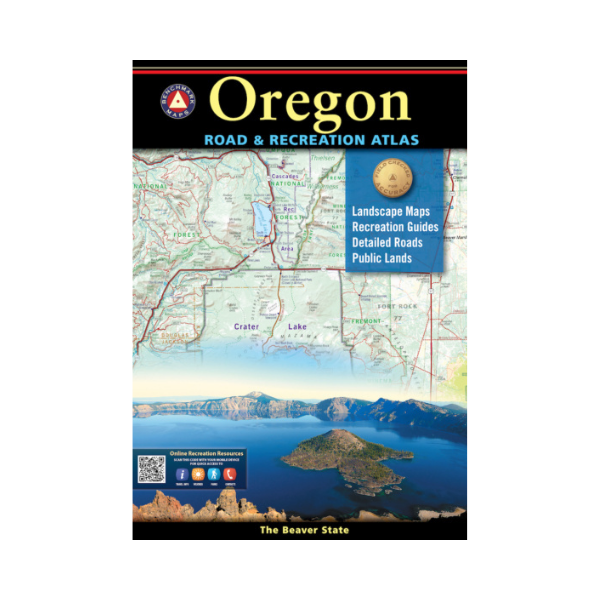
Oregonians love their state, Benchmark's home state, and they love this atlas. They rave about how clearly it maps the roads - ALL of them - and its accuracy, page overlap, and how easy it is to find landmarks. The Landscape Maps in the latest edition are dramatically improved, with better terrain clarity and detail.
Dimension: 16" x 11". 112 pages. 9th Edition 2020. ISBN 978-0-929591-76-6
The maps of Oregon are field checked for accuracy, and feature all of the important outdoor recreation categories and cultural interests.
- Highways of the Northwestern U.S. and Oregon (Hwy 20, I5, I84)
- Recreation and Public Lands Detail
- Highly Detailed Landscape Maps
- Index of counties, cities, parks, mountains, lakes & rivers.
- Detailed Portland Metro Map
- GPS Grid
Map Scales: Recreation Maps 1:750,000 1" =11.8 miles. Landscape Maps 1:225,000 1" =3.6 miles. Metro Maps 1:125,000 1" =2 miles.
Every purchase made through our online store helps us continue our nonprofit education programs and services on Southwest public lands.