
Stretching from the inspiring heights of the Cascade Crest to the open lowlands of the Columbia River, the 4 million-acre Okanogan-Wenatchee National Forest is defined by contrasts. Vas Wild areas offer solitude, challenge and freedom while hundreds of miles of roads and trails offer easy access to on the most heavily visited forests in the western US.
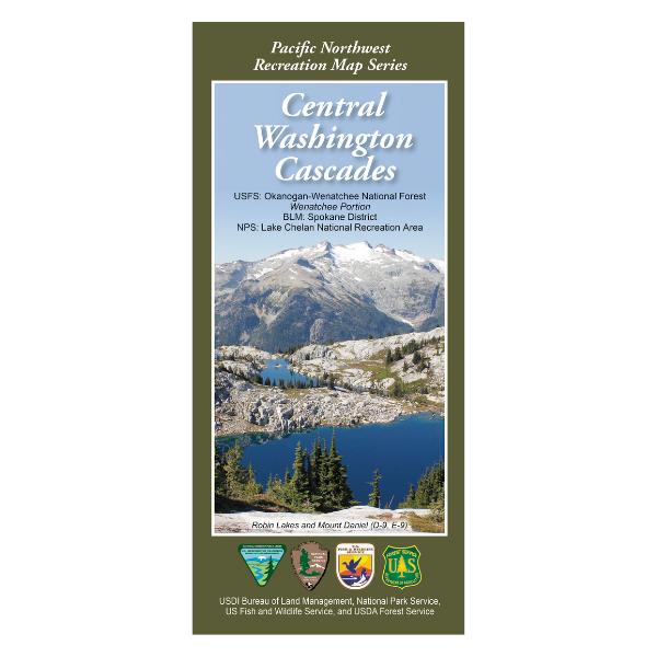
This map has replaced the Wenatchee National Forest map. This maps also shows the BLM Spokane district, the Lake Chelan National Recreation Area, the Alpine Lakes Wilderness, Glacier Peak Wilderness, William O. Douglas Wilderness, Norse Peak Wilderness, and Goat Rocks Wilderness.
The Pacific Northwest Recreation Map Series is jointly created by the Bureau of Land Management and US Forest Service. They provide surface land status and key recreation features like roads, campgrounds, and day use areas on federal lands (including National Forests, National Parks, US Fish & Wildlife Service lands, and more).
2015, printed on water and tear-proof synthetic material. $19.99.
This map is suitable for WA game management units 244, 245, 246, 247, 249, 250, 251, 328, 335, 336, 340, 342, 346, 352, 356, 360, 364, 426, & 513.