
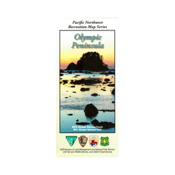


Revised (2017) map of the Olympic Peninsula including Olympic National Forest and Olympic National Park, Indian reservations, wilderness areas, wildlife refuges, state parks and state forests. The West Half map covers the coastline from Cape Flattery south to Pacific Beach, and from Cape Flattery on Strait of Juan De Fuca east to Port Angeles. Scenic driving on Hwy 101. Access Olympic National Park rain forests from near Forks or from Lake Quinault, with camping, hiking, and scenic driving opportunities. From Forks travel north on Hwy 101 to access the campgrounds and hiking trails in Olympic National Forest. From near Crescent Lake on Hwy 101 scenic drive to the Sol Duc area of Olympic National Park with camping, hiking, and soaking in a hot springs pool(fee). The Eastside Half map covers eastern part of Olympic National Park, Olympic National Forest, Hood Canal, Bremerton south to Tacoma, Puget Sound and Bainbridge Island. From Port Angeles travel south on Hurricane Ridge Road, with scenic driving up the ridge to panoramic views of Mount Olympus. Enjoy hiking, scenic viewing, wildlife viewing, plus exploring the visitors center. There are numerous opportunities for camping, scenic driving, boating, fishing, and hiking as you travel Hwy 101 along Hood Canal. Shaded relief maps on 1:126,700(1 inch =1 mile) scale showing campgrounds, rental cabins, trails, forest roads, and includes information about motorized off-road travel (ATVs, motorcycles, etc.) and much more. Printed on tear-proof, water resistant synthetic material.
Use map for WA Hunting Units 601, 602, 603, 607, 612, 615, 618, 621, 624, 627, 633, 636, 638, 642, 648, and 651. Revised 2017