


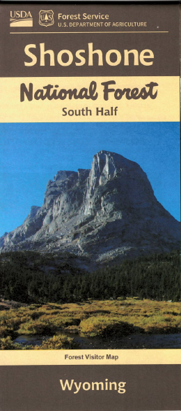
Map includes two sections of Shoshone National Forest; one west of Dubois and the other west of Lander. Access the Fitzpatrick Wilderness from FR 411 near Torrey Lake, hiking, backpacking, or horse riding in the wilderness. Explore the forest roads northwest of Dubois. From Lander travel to Sinks Canyon for scenic viewing, camping, hiking, and fishing, then explore by 4WD vehicle FR 300 to Louis Lake and beyond with opportunity for camping, fishing, boating, and hiking; trailhead access to Popo Agie Wilderness also off of FR 300. Map shows topographic information, recreation information, camping and recreation areas, corrals, points of interest, and other Forest Service facilities. Forest roads and trails are clearly marked. Map is useful for OHV use, and WY Antelope Hunting Units 65 and 107; WY Deer HU 92, 138, and 139; WY Elk HU 28. On tear-proof synthetic paper. 2021