


Map covers from Little Hattie Lake east to Laramie and then east to Granite Canyon. Travel east of Laramie to a section of Medicine Bow National Forest for camping at Vedauwoo, Tie City, Yellow Pine, or Pole Creek Campgrounds. Enjoy the rock formations, picnic, watch the rock climbers, and hike the trails in the Vedauwoo area. Also visit Curt Gowdy State Park east of the forest; camping, fishing, and boating available. For wildlife viewing travel to the three wildlife refuges west of Laramie.
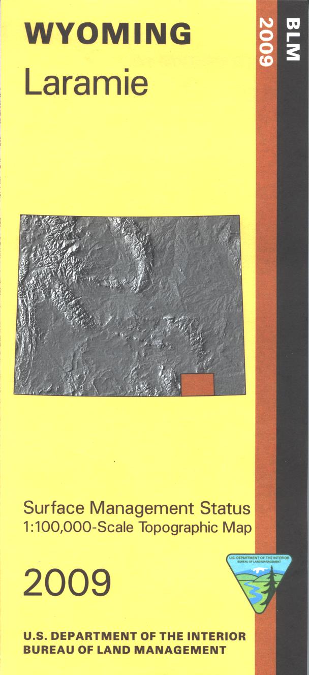
The BLM quadrant maps are scaled at 1:100,000, and cover an area of about 30 x 50 miles. Official Bureau of Land Management metric topographic map @1:100,000 scale (roughly 3/4"`1 mile), color-coded to show surface management, i.e. agency vs. private or tribal ownership. Map shows color coded public and private ownership, roads, water features, recreation sites, points of interest, and the township and range lines. This is a Mineral Management Map, with an additional layer showing below-surface mineral rights.
Use the map for OHV use, and WY Deer Hunting Units 59, 60, 61, 74, 75, 76, and 77; WY Elk HU 6, 8, 9, 10, and 114; WY Antelope HU 37, 38, 43, 44, and 45. 2009
Every purchase made through our online store helps us continue our nonprofit education programs and services on Southwest public lands.