
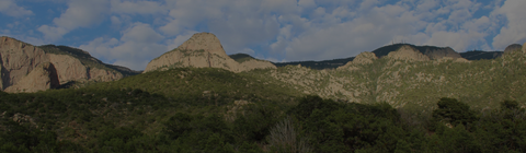
Looming over Albuquerque, New Mexico, the Sandia Mountains were formed (and continue to develop) as the Rio Grande Rift shifts blocks of the earth apart. The prominent elevated ridge rising from the river valley below has allowed a thriving forest ecosystem to develop in the middle of a high-desert landscape.
Sharing borders with the City of Albuquerque, this ranger district of the Cibola National Forest is widely accessible, offering a network of trails and roads to make your way into the forest, in addition to the world's longest aerial tram from Albuquerque directly to Sandia Crest (a climb of over 4,000 feet).
The Sandia Mountain Wilderness at over 30,000 acres comprises much of the west face (facing Albuquerque) and the long ridge of peaks that make up the highest points in this range. Plenty of picnic areas, trails for hikers of all types, and the Capulin Snow Play area make this a high-traffic recreation area all through the year.
A small portion of this ranger district extends south of Interstate 40 and the Town of Tijeras, encompassing the Manzanita Mountains. This area features many much-loved trails among canyons and (generally) less steep terrain than the Sandia range. Several developed campgrounds are available in this portion of the forest, as well as OHV trails and day use areas.
Our outlet at the Sandia Ranger District Office is located just off I-40 in the Town of Tijeras. The office is also located directly next to the Tijeras Pueblo Archaeological Site, the ruins of a Pueblo village that once thrived in Tijeras Canyon between the Sandias and Manzanitas.
Shop Sandia


Map: Cibola National Forest NM Sandia District (2006 Edition)


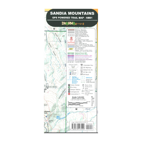
Map: Cibola National Forest NM Sandia District (2023 Edition)


Sandia Ranger District Office
11776 NM-337
Tijeras, NM 87059
505-281-3304