arrow-right cart chevron-down chevron-left chevron-right chevron-up close menu minus play plus search share user email pinterest facebook instagram snapchat tumblr twitter vimeo youtube subscribe dogecoin dwolla forbrugsforeningen litecoin amazon_payments american_express bitcoin cirrus discover fancy interac jcb master paypal stripe visa diners_club dankort maestro trash

Shopping Cart


Shop All | Shop Maps
Click to close
Map: Centralia WA - WA005S
Regular price
$8.99

Map: Centralia WA - WA005S


Unit price per
Shipping calculated at checkout.

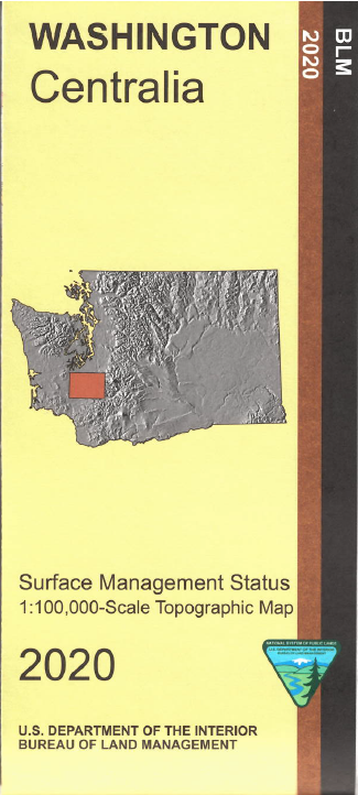
From Centralia map shows lands north to Tumwater, east into Tahoma State Forest, and south to Mayfield Reservoir. Travel east to camp, fish, and boat at Alder Lake and explore Mount Baker Snoqualmie National Forest. Nearby Elbe Hills State Forest has camping and hiking opportunities. This Bureau of Land Management map shows federal, state, and private lands, roads, water features, recreation sites, contours, points of interest, place names, county and BLM district boundaries, township and range lines. Use this map for hunting in Units 505, 510, 652, 654, 666, and 667.
Scale is 1:100,000 roughly 3/4 inch to 1 mile. 2020

 Every purchase made through our online store helps us continue our nonprofit education programs and services on Southwest public lands.