arrow-right cart chevron-down chevron-left chevron-right chevron-up close menu minus play plus search share user email pinterest facebook instagram snapchat tumblr twitter vimeo youtube subscribe dogecoin dwolla forbrugsforeningen litecoin amazon_payments american_express bitcoin cirrus discover fancy interac jcb master paypal stripe visa diners_club dankort maestro trash

Shopping Cart


Shop All | Shop Maps
Click to close
Map: Nehalem River OR - OR044S
Regular price
$8.99

Map: Nehalem River OR - OR044S


Unit price per
Shipping calculated at checkout.

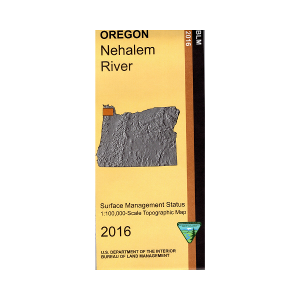
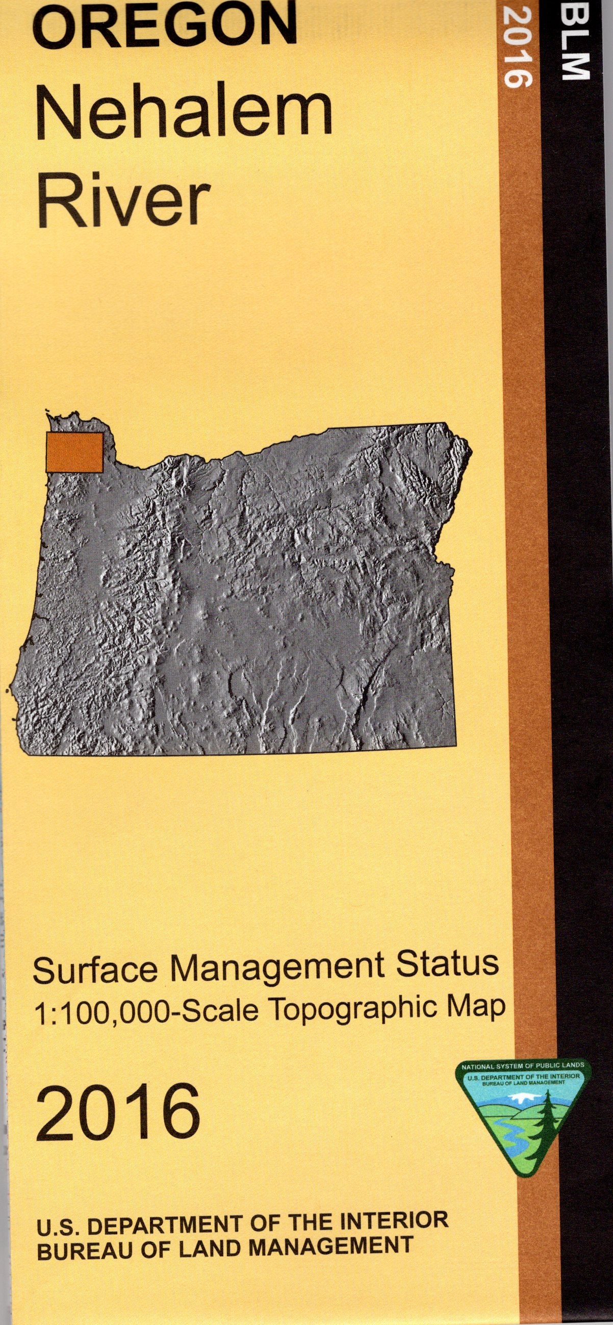
Map shows the coastline from Seaside south to Bay City with opportunities for camping, fishing, hiking, beach walking, visiting tide pools, and enjoying scenic drives and views. Covers much of the Tillamook and Clatsop State Forests with opportunities for camping, hiking, fishing, and OHV trails. Official Bureau of Land Management metric topographic map
@1:100,000 scale (roughly 3/4"`1 mile), color-coded to show surface
management, i.e. agency vs. private or tribal ownership. Map shows roads, water features, points of interest, and the township and range lines. Useful for OR hunting Units 10, 11, 12, and 14. 2016

 Every purchase supports our education and outreach programs on public lands.

 You can save online and in-store with a PLIA membership!

Vendor: BLM OR