
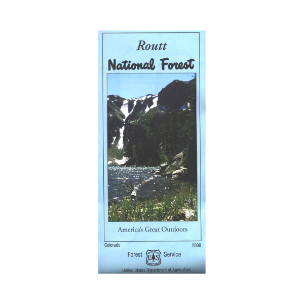

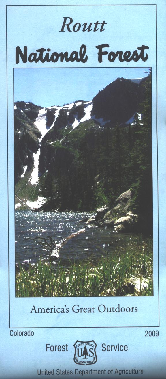


The map covers all or a portion of the national forest. The maps show
roads, trails, streams, lakes, recreation sites, land
ownership, and major points of interest. Explore the Trappers Lake area with opportunities for camping, hiking, horseback riding, fishing, and boating. The lake is surrounded by Flat Tops Wilderness, great scenic views abound. From Yampa explore the Stillwater Reservoir recreation area. Hike or horse ride in the Mount Zirkel Wilderness north of Steamboat Springs. The map includes information about motorized off-road travel (ATVs, motorcycles, etc.). Map is great for mountain biking, OHV use, scenic driving, and hunting. Use map for CO Hunting Units 4, 5, 6, 14, 15, 16, 17, 27, 161, 171, 214, and 441. The scale is 1/2"= mile. Printed on synthetic, tear-proof, waterproof paper. 2009