
These are the Southern Blue Mountains, where the Columbia Plateau meets the Great Basin. These diverse landscapes comprise the Malheur National Forest and Bureau of Land Management (BLM) lands. Visitors find solitude and the freedom to experience a number of special areas such as Wild and Scenic Rivers, scenic areas, and remote fire lookouts, as well as wildlife, including big game, native fish, birds and wild horses. The presence of ranching, logging, and mining activities are living reminders of the working relationship between the lands and the local communities. Prehistoric uses remain evident, while the local users and tribes still enjoy their relationships with the land.
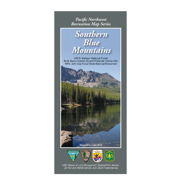
Map covers lands from North Fork John Day Wilderness south to Burns OR, and from Unity Reservoir west to John Day Fossil Beds National Monument. Contains the Malheur National Forest.
The Pacific Northwest Recreation Map Series is jointly created by the Bureau of Land Management and US Forest Service. They provide surface land status and key recreation features like roads, campgrounds, and day use areas on federal lands (including National Forests, National Parks, US Fish & Wildlife Service lands, and more)
2018, printed on durable paper. $19.99.
This map is suitable for hunting in OR Hunt Units 46, 47, 65, 66, & 72.