


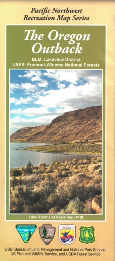

The “Oregon Outback” geographically encompasses south-central and southeastern Oregon, including parts of Klamath, Lake, and Harney Counties. The Outback is “isolated rural country,” located in the northern Great Basin, and is comprised of mostly high desert plateau (roughly 4,000 feet above seal level) with interspersed mountain ranges here and there. Vegetation is overwhelmingly sagebrush and western juniper, with some ponderosa pine forest.
The “Oregon Outback” map covers public lands managed by the Bureau of Land Management’s Lakeview District and Fremont-Winema National Forests. These public lands offer outdoor enthusiasts numerous summer and winter recreational opportunities. From the majestic Warner Mountain Range to the remote Christmas Valley Sand Dunes, outdoor lovers will find the Outback a great place to visit.
The Pacific Northwest Recreation Map Series is jointly created by the Bureau of Land Management and US Forest Service. They provide surface land status and key recreation features like roads, campgrounds, and day use areas on federal lands (including National Forests, National Parks, US Fish & Wildlife Service lands, and more)
2019, printed on water and tear-proof synthetic material. $19.99.
Map is suitable for hunting in OR Hunt Units 62, 35, 71, 72, 73, 74, 75, 76, & 77.