


by Paul W. Bauer, published 2011
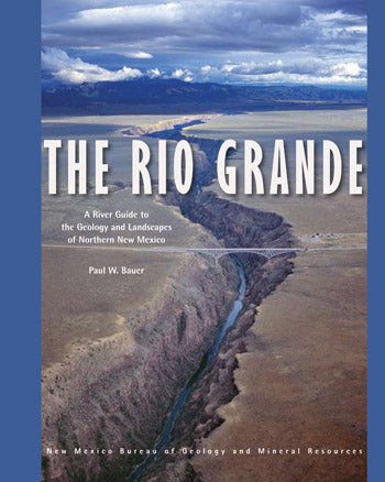
The Rio Grande is the fourth longest river in North America. Flowing nearly 2,000 miles from Colorado to the Gulf of Mexico, in New Mexico it occupies the Rio Grande Valley, where it provides water for habitat, agriculture, and a growing population. In northern New Mexico, where the river has carved a pair of spectacular canyons, the Rio Grande also provides some of the most exceptional recreation opportunities and scenery in North America. This comprehensive, spiral bound, waterproof, 122-page river guide provides detailed, full-color maps of 153 miles of the Rio Grande, from Lasauses, Colorado to Cochiti Dam in New Mexico. Divided into eleven river stretches—including the popular whitewater runs in the Taos Box, Racecourse, and White Rock Canyon—the guide covers stretches that range in difficulty from placid canoe tours to gripping kayak descents. The river maps are developed on an aerial photographic base (digital orthophoto quads), allowing the user to more easily identify locations.
The geology of the region is likewise exceptional. The river spills from the San Juan Mountains into the Rio Grande rift, where several million years of erosive action have exposed a geologic cornucopia, including three major volcanic fields (including the Jemez supervolcano), seismically active faults, extinct Pleistocene lakes, and ancient rocks of the Rocky Mountains. The guide uses non-technical language and lavish illustrations to interpret the evolution of this magnificent landscape.
Although the focus of the guide is on geology and landscape, the guide is packed with information and photos on geography, hydrology, climate, boating safety, river management, rock art, and much more. Providing detailed information on access and trails, history and landscape, railroads and mining, this guide is also an invaluable resource for hikers, anglers, cyclists, day trippers, historians, philosophers, and casual visitors.