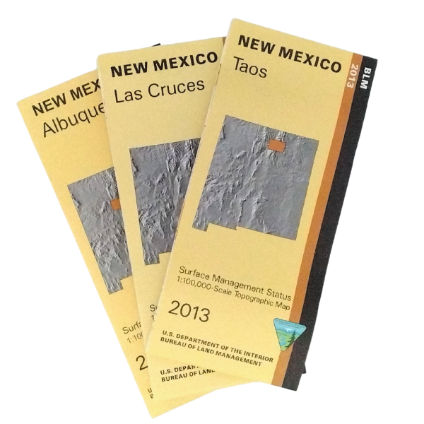
BLM Maps
BLM Map Features
- scale approximately 3/4"= 1 mile (1:100,000 metric scale)
- surface management (land ownership) shown in color
- topographic info (contour interval 50 meters or about 150 feet)
- spot elevations
- township and range
- water features
- highways, roads, and trails
- township and range
- BLM maps cover entire state; each map area covers about 30 x 50 miles (30X60 minutes)
- metric conversion tables
- mineral management version available for some maps