ForestServiceMaps
Filter and sort


Map: Los Padres National Forest CA - Mt. Pinos, Ojai, & Santa Barbara R.D (South)


Map: Los Padres National Forest CA - Mt. Pinos, Ojai, & Santa Barbara R.D (South)


Map: Humboldt-Toiyabe NF - NV Mountain City & Jarbidge RD
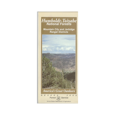


Map: Humboldt-Toiyabe NF - NV Mountain City & Jarbidge RD


Map: Sawtooth National Forest ID Ketchum & Fairfield RD (North)


Map: Sawtooth National Forest ID Ketchum & Fairfield RD (North)


Map: Caribou-Targhee NF ID Ashton- Island Park (east)


Map: Caribou-Targhee NF ID Ashton- Island Park (east)


Map: (AZ) Coronado NF: Mt. Wrightson & Pajarita Wildernesses
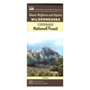
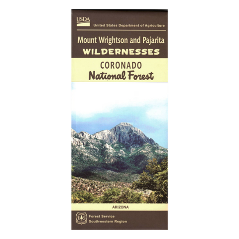


Map: (AZ) Coronado NF: Mt. Wrightson & Pajarita Wildernesses


Map: Frank Church River No Return Wilderness Area Map ID (South Half)

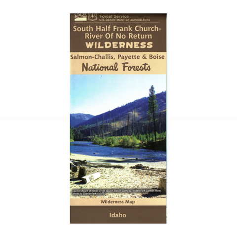


Map: Frank Church River No Return Wilderness Area Map ID (South Half)
Map: Custer Gallatin National Forest Map MT - Ashland RD


Map: Custer Gallatin National Forest Map MT - Ashland RD