Forest Service Maps
Forest Service Map Features
- Forest overview, including outstanding recreation opportunities
- 1:126,720 scale, or 1/2"=1 mile
- spot elevations
- water features
- highways, Forest Service roads, trails, and trailheads
- Reference grid for USGS topo maps
- chart of developed recreational facilities (campgrounds, picnic areas)
- surface management (land ownership) shown on many maps
- some maps detail travel restrictions, trail information, and jeep trails
- many forest recreation maps are printed on waterproof, tearproof synthetic paper
- Wilderness area maps include topographic detail, and have a scale of at least 1"=1 mile. Many wilderness maps are printed on waterproof, tearproof synthetic paper.
Filter and sort
Map: Apache Kid Wilderness & Withington Wildernesses NM


Map: Apache Kid Wilderness & Withington Wildernesses NM
Map: Bob Marshall, Great Bear & Scapegoat Wilderness MT


Map: Bob Marshall, Great Bear & Scapegoat Wilderness MT


Map: Rio Grande National Forest CO - Conejos Peak District


Map: Rio Grande National Forest CO - Conejos Peak District


Map: Grand Mesa National Forest CO Grand Valley RD


Map: Grand Mesa National Forest CO Grand Valley RD


Map: Uncompahgre National Forest CO Plateau Division
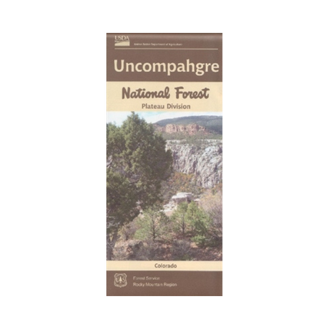


Map: Uncompahgre National Forest CO Plateau Division
Map: Uncompahgre National Forest Mountain Division CO
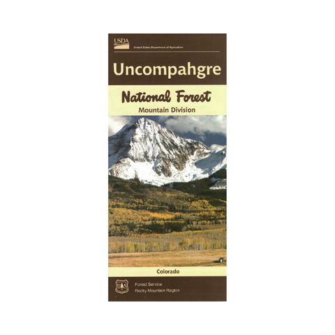


Map: Uncompahgre National Forest Mountain Division CO


Map: Cibola National Forest NM Mt.Taylor District (2023 Edition)
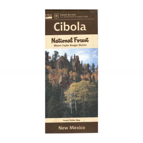


Map: Cibola National Forest NM Mt.Taylor District (2023 Edition)
Map: Cibola NF, Kiowa & Rita Blanca National Grasslands NM, TX, OK
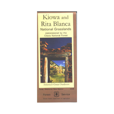


Map: Cibola NF, Kiowa & Rita Blanca National Grasslands NM, TX, OK