Forest Service Maps
Forest Service Map Features
- Forest overview, including outstanding recreation opportunities
- 1:126,720 scale, or 1/2"=1 mile
- spot elevations
- water features
- highways, Forest Service roads, trails, and trailheads
- Reference grid for USGS topo maps
- chart of developed recreational facilities (campgrounds, picnic areas)
- surface management (land ownership) shown on many maps
- some maps detail travel restrictions, trail information, and jeep trails
- many forest recreation maps are printed on waterproof, tearproof synthetic paper
- Wilderness area maps include topographic detail, and have a scale of at least 1"=1 mile. Many wilderness maps are printed on waterproof, tearproof synthetic paper.
Filter and sort
Map: (AZ) Coronado NF: Mt. Wrightson & Pajarita Wildernesses


Map: (AZ) Coronado NF: Mt. Wrightson & Pajarita Wildernesses
Map: Custer Gallatin National Forest Map MT - Ashland RD
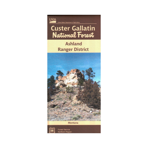


Map: Custer Gallatin National Forest Map MT - Ashland RD
Map: Humboldt-Toiyabe National Forest - NV Tonopah RD

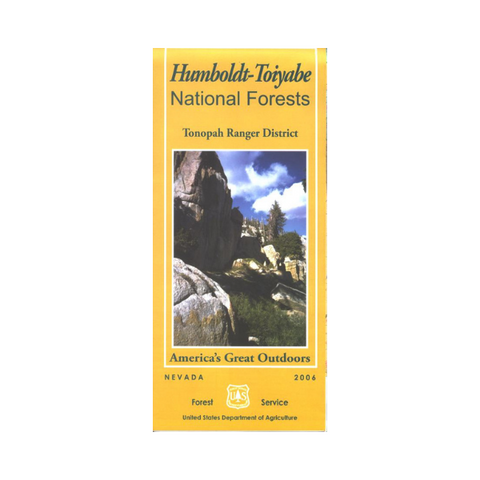


Map: Humboldt-Toiyabe National Forest - NV Tonopah RD


Map: Ochoco OR National Forest & Crooked River National Grassland - 2000


Map: Ochoco OR National Forest & Crooked River National Grassland - 2000


Map: Uinta-Wasatch Cache NF UT: Salt Lake Ranger District.


Map: Uinta-Wasatch Cache NF UT: Salt Lake Ranger District.


Map: Middle Fork of the Salmon: A Wild and Scenic River ID


Map: Middle Fork of the Salmon: A Wild and Scenic River ID
Map: Los Padres National Forest CA, Monterey & Santa Lucia R.D. (North)


Map: Los Padres National Forest CA, Monterey & Santa Lucia R.D. (North)
Map: Rio Grande National Forest CO Divide District


Map: Rio Grande National Forest CO Divide District

Map: Jedediah Smith Wilderness & Winegar Hole Wilderness ID


Map: Jedediah Smith Wilderness & Winegar Hole Wilderness ID
Map: Chama River Canyon & Dome Wilderness (Santa Fe NF) NM


Map: Chama River Canyon & Dome Wilderness (Santa Fe NF) NM