Forest Service Maps
Forest Service Map Features
- Forest overview, including outstanding recreation opportunities
- 1:126,720 scale, or 1/2"=1 mile
- spot elevations
- water features
- highways, Forest Service roads, trails, and trailheads
- Reference grid for USGS topo maps
- chart of developed recreational facilities (campgrounds, picnic areas)
- surface management (land ownership) shown on many maps
- some maps detail travel restrictions, trail information, and jeep trails
- many forest recreation maps are printed on waterproof, tearproof synthetic paper
- Wilderness area maps include topographic detail, and have a scale of at least 1"=1 mile. Many wilderness maps are printed on waterproof, tearproof synthetic paper.
Filter and sort


Map: Los Padres National Forest CA - Mt. Pinos, Ojai, & Santa Barbara R.D (South)


Map: Los Padres National Forest CA - Mt. Pinos, Ojai, & Santa Barbara R.D (South)
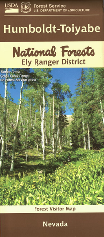
Map: Humboldt-Toiyabe NF - NV Mountain City & Jarbidge RD


Map: Humboldt-Toiyabe NF - NV Mountain City & Jarbidge RD

Map: Sawtooth National Forest ID Ketchum & Fairfield RD (North)


Map: Sawtooth National Forest ID Ketchum & Fairfield RD (North)


Map: Gila NF, Day Hikes & Rides Near the Gila Visitor Center


Map: Gila NF, Day Hikes & Rides Near the Gila Visitor Center


Map: Frank Church River No Return Wilderness Area Map ID (South Half)

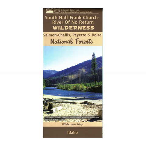


Map: Frank Church River No Return Wilderness Area Map ID (South Half)


Map: Caribou-Targhee NF ID Ashton- Island Park (east)


Map: Caribou-Targhee NF ID Ashton- Island Park (east)