Forest Service Maps
Forest Service Map Features
- Forest overview, including outstanding recreation opportunities
- 1:126,720 scale, or 1/2"=1 mile
- spot elevations
- water features
- highways, Forest Service roads, trails, and trailheads
- Reference grid for USGS topo maps
- chart of developed recreational facilities (campgrounds, picnic areas)
- surface management (land ownership) shown on many maps
- some maps detail travel restrictions, trail information, and jeep trails
- many forest recreation maps are printed on waterproof, tearproof synthetic paper
- Wilderness area maps include topographic detail, and have a scale of at least 1"=1 mile. Many wilderness maps are printed on waterproof, tearproof synthetic paper.
Filter and sort


Map: Humboldt-Toiyabe NF - NV Ruby Mountains RD WATERPROOF


Map: Humboldt-Toiyabe NF - NV Ruby Mountains RD WATERPROOF
Map: Caribou-Targhee NF ID Montpelier & Soda Springs
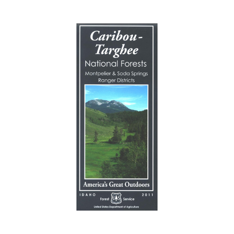


Map: Caribou-Targhee NF ID Montpelier & Soda Springs
Map: Mount Baker-Snoqualmie National Forest (Darrington Ranger District) WA
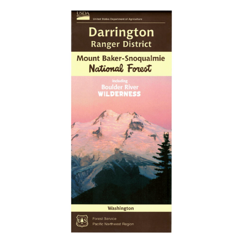


Map: Mount Baker-Snoqualmie National Forest (Darrington Ranger District) WA


Map: Siskiyou National Forest OR BLM Coos Bay - 1997


Map: Siskiyou National Forest OR BLM Coos Bay - 1997


Map: Selway-Bitterroot Wilderness ID/MT North Half


Map: Selway-Bitterroot Wilderness ID/MT North Half
Map: Cibola NF, Black Kettle/McClellan Creek Nat'l Grasslands


Map: Cibola NF, Black Kettle/McClellan Creek Nat'l Grasslands


Map: Mount Baker-Snoqualmie National Forest (Mt. Baker Ranger District) WA


Map: Mount Baker-Snoqualmie National Forest (Mt. Baker Ranger District) WA