Forest Service Maps
Forest Service Map Features
- Forest overview, including outstanding recreation opportunities
- 1:126,720 scale, or 1/2"=1 mile
- spot elevations
- water features
- highways, Forest Service roads, trails, and trailheads
- Reference grid for USGS topo maps
- chart of developed recreational facilities (campgrounds, picnic areas)
- surface management (land ownership) shown on many maps
- some maps detail travel restrictions, trail information, and jeep trails
- many forest recreation maps are printed on waterproof, tearproof synthetic paper
- Wilderness area maps include topographic detail, and have a scale of at least 1"=1 mile. Many wilderness maps are printed on waterproof, tearproof synthetic paper.
Filter and sort


Map: Cibola National Forest NM Sandia District (2023 Edition)


Map: Cibola National Forest NM Sandia District (2023 Edition)
Map: Humboldt-Toiyabe Natl Forest NV Bridgeport RD NV

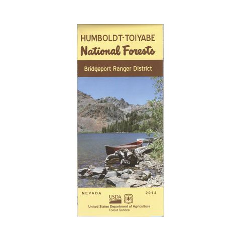


Map: Humboldt-Toiyabe Natl Forest NV Bridgeport RD NV
Map: Lolo National Forest MT - Plains/Thompson Falls RD


Map: Lolo National Forest MT - Plains/Thompson Falls RD

Map: Frank Church River Of No Return Wilderness Area Map ID (North Half)
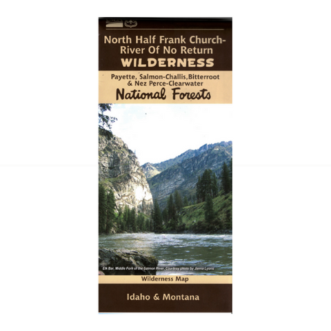


Map: Frank Church River Of No Return Wilderness Area Map ID (North Half)


Map: Selway-Bitterroot Wilderness ID/MT South Half
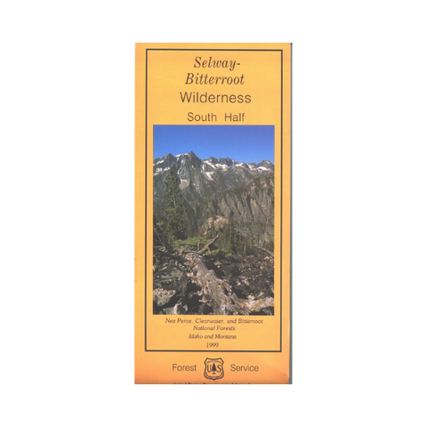


Map: Selway-Bitterroot Wilderness ID/MT South Half
Map: Dixie National Forest UT - Pine Valley Cedar City
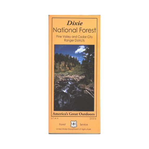


Map: Dixie National Forest UT - Pine Valley Cedar City


Map: Humboldt-Toiyabe National Forest Spring Mountains/Las Vegas- NV


Map: Humboldt-Toiyabe National Forest Spring Mountains/Las Vegas- NV
Map: Humboldt-Toiyabe National Forest - NV: Austin RD

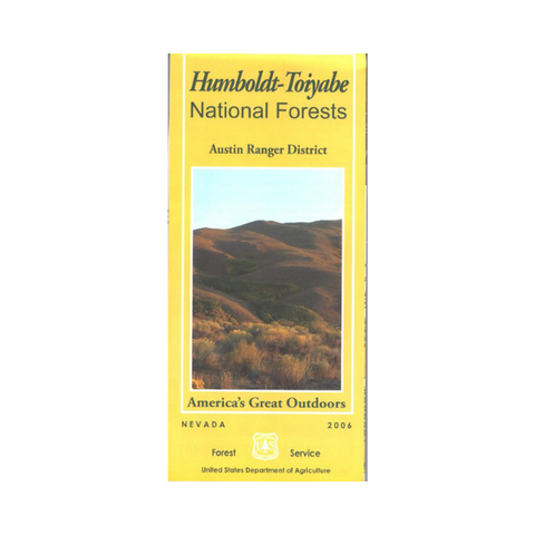


Map: Humboldt-Toiyabe National Forest - NV: Austin RD